
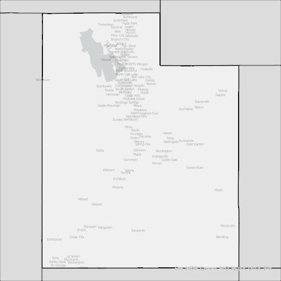
Utah State Broadband Serviceable Location Data
CostQuest’s BroadbandFabric data developed by broadband experts and blended with machine learning, is the perfect solution for the challenges broadband decision-makers face. CostQuest provides an accurate view of Broadband Serviceable locations (coordinates of structures eligible to receive service) that can universally tie to other key data attributes such as Service Availability, Engineering and Construction, Costs and Economics, and Demand and Demographics. Let CostQuest power your data-driven decision making with one-of-a-kind data built for the Broadband evolution.
Contact UsCounties included
- Beaver County UT GIS Data
- Box Elder County UT GIS Data
- Cache County UT GIS Data
- Carbon County UT GIS Data
- Daggett County UT GIS Data
- Davis County UT GIS Data
- Duchesne County UT GIS Data
- Emery County UT GIS Data
- Garfield County UT GIS Data
- Grand County UT GIS Data
- Iron County UT GIS Data
- Juab County UT GIS Data
- Kane County UT GIS Data
- Millard County UT GIS Data
- Morgan County UT GIS Data
- Piute County UT GIS Data
- Rich County UT GIS Data
- Salt Lake County UT GIS Data
- San Juan County UT GIS Data
- Sanpete County UT GIS Data
- Sevier County UT GIS Data
- Summit County UT GIS Data
- Tooele County UT GIS Data
- Uintah County UT GIS Data
- Utah County UT GIS Data
- Wasatch County UT GIS Data
- Washington County UT GIS Data
- Wayne County UT GIS Data
- Weber County UT GIS Data