The success and quality of your decisions hinge upon the quality of the underlying information used to guide them. Otherwise, it’s garbage in, garbage out.
Explore the power of CostQuest’s precision GIS data products, built to provide the reliable and foundational data insights needed to effectively inform broadband deployment, business planning, operations, and policy decisions in the right direction. With broadband-focused location data as the foundation, additional datasets are easily layered on top, equipping you with the essential data for effective decisions, all in one place.
Explore our precision GIS data products below!
Broadband GIS Data
GIS BroadbandFabric Data Suites
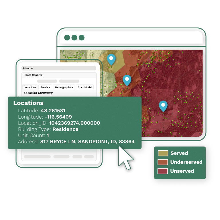
Precise, reliable, trusted GIS data built for broadband decisions and operations. Using CostQuest’s core Broadband Serviceable Location Fabric data, tied directly to federal initiatives such as the FCC’s BDC and NTIA’s BEAD programs, CostQuest created Geographic Information System (GIS) location datasets at the coordinate/address-level, complete with insightful broadband-specific data attributes per location to provide users with the quality and foundational data required to effectively inform broadband deployment, business planning, operations, and policy decisions.
Access essential location, service availability, competition, federal funding, demographics, and cost and economics data to help guide your broadband decisions and operations in the right direction.
Trusted by Federal Agencies, relied on by industry