
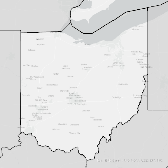
Ohio State Broadband Serviceable Location Data
CostQuest’s BroadbandFabric data developed by broadband experts and blended with machine learning, is the perfect solution for the challenges broadband decision-makers face. CostQuest provides an accurate view of Broadband Serviceable locations (coordinates of structures eligible to receive service) that can universally tie to other key data attributes such as Service Availability, Engineering and Construction, Costs and Economics, and Demand and Demographics. Let CostQuest power your data-driven decision making with one-of-a-kind data built for the Broadband evolution.
Contact UsCounties included
- Adams County OH GIS Data
- Allen County OH GIS Data
- Ashland County OH GIS Data
- Ashtabula County OH GIS Data
- Athens County OH GIS Data
- Auglaize County OH GIS Data
- Belmont County OH GIS Data
- Brown County OH GIS Data
- Butler County OH GIS Data
- Carroll County OH GIS Data
- Champaign County OH GIS Data
- Clark County OH GIS Data
- Clermont County OH GIS Data
- Clinton County OH GIS Data
- Columbiana County OH GIS Data
- Coshocton County OH GIS Data
- Crawford County OH GIS Data
- Cuyahoga County OH GIS Data
- Darke County OH GIS Data
- Defiance County OH GIS Data
- Delaware County OH GIS Data
- Erie County OH GIS Data
- Fairfield County OH GIS Data
- Fayette County OH GIS Data
- Franklin County OH GIS Data
- Fulton County OH GIS Data
- Gallia County OH GIS Data
- Geauga County OH GIS Data
- Greene County OH GIS Data
- Guernsey County OH GIS Data
- Hamilton County OH GIS Data
- Hancock County OH GIS Data
- Hardin County OH GIS Data
- Harrison County OH GIS Data
- Henry County OH GIS Data
- Highland County OH GIS Data
- Hocking County OH GIS Data
- Holmes County OH GIS Data
- Huron County OH GIS Data
- Jackson County OH GIS Data
- Jefferson County OH GIS Data
- Knox County OH GIS Data
- Lake County OH GIS Data
- Lawrence County OH GIS Data
- Licking County OH GIS Data
- Logan County OH GIS Data
- Lorain County OH GIS Data
- Lucas County OH GIS Data
- Madison County OH GIS Data
- Mahoning County OH GIS Data
- Marion County OH GIS Data
- Medina County OH GIS Data
- Meigs County OH GIS Data
- Mercer County OH GIS Data
- Miami County OH GIS Data
- Monroe County OH GIS Data
- Montgomery County OH GIS Data
- Morgan County OH GIS Data
- Morrow County OH GIS Data
- Muskingum County OH GIS Data
- Noble County OH GIS Data
- Ottawa County OH GIS Data
- Paulding County OH GIS Data
- Perry County OH GIS Data
- Pickaway County OH GIS Data
- Pike County OH GIS Data
- Portage County OH GIS Data
- Preble County OH GIS Data
- Putnam County OH GIS Data
- Richland County OH GIS Data
- Ross County OH GIS Data
- Sandusky County OH GIS Data
- Scioto County OH GIS Data
- Seneca County OH GIS Data
- Shelby County OH GIS Data
- Stark County OH GIS Data
- Summit County OH GIS Data
- Trumbull County OH GIS Data
- Tuscarawas County OH GIS Data
- Union County OH GIS Data
- Van Wert County OH GIS Data
- Vinton County OH GIS Data
- Warren County OH GIS Data
- Washington County OH GIS Data
- Wayne County OH GIS Data
- Williams County OH GIS Data
- Wood County OH GIS Data
- Wyandot County OH GIS Data