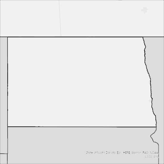
North Dakota State Broadband Serviceable Location Data
CostQuest’s BroadbandFabric data developed by broadband experts and blended with machine learning, is the perfect solution for the challenges broadband decision-makers face. CostQuest provides an accurate view of Broadband Serviceable locations (coordinates of structures eligible to receive service) that can universally tie to other key data attributes such as Service Availability, Engineering and Construction, Costs and Economics, and Demand and Demographics. Let CostQuest power your data-driven decision making with one-of-a-kind data built for the Broadband evolution.
Contact UsCounties included
- Adams County ND GIS Data
- Barnes County ND GIS Data
- Benson County ND GIS Data
- Billings County ND GIS Data
- Bottineau County ND GIS Data
- Bowman County ND GIS Data
- Burke County ND GIS Data
- Burleigh County ND GIS Data
- Cass County ND GIS Data
- Cavalier County ND GIS Data
- Dickey County ND GIS Data
- Divide County ND GIS Data
- Dunn County ND GIS Data
- Eddy County ND GIS Data
- Emmons County ND GIS Data
- Foster County ND GIS Data
- Golden Valley County ND GIS Data
- Grand Forks County ND GIS Data
- Grant County ND GIS Data
- Griggs County ND GIS Data
- Hettinger County ND GIS Data
- Kidder County ND GIS Data
- LaMoure County ND GIS Data
- Logan County ND GIS Data
- McHenry County ND GIS Data
- McIntosh County ND GIS Data
- McKenzie County ND GIS Data
- McLean County ND GIS Data
- Mercer County ND GIS Data
- Morton County ND GIS Data
- Mountrail County ND GIS Data
- Nelson County ND GIS Data
- Oliver County ND GIS Data
- Pembina County ND GIS Data
- Pierce County ND GIS Data
- Ramsey County ND GIS Data
- Ransom County ND GIS Data
- Renville County ND GIS Data
- Richland County ND GIS Data
- Rolette County ND GIS Data
- Sargent County ND GIS Data
- Sheridan County ND GIS Data
- Sioux County ND GIS Data
- Slope County ND GIS Data
- Stark County ND GIS Data
- Steele County ND GIS Data
- Stutsman County ND GIS Data
- Towner County ND GIS Data
- Traill County ND GIS Data
- Walsh County ND GIS Data
- Ward County ND GIS Data
- Wells County ND GIS Data
- Williams County ND GIS Data