
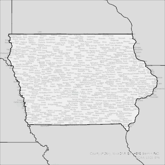
Iowa State Broadband Serviceable Location Data
CostQuest’s BroadbandFabric data developed by broadband experts and blended with machine learning, is the perfect solution for the challenges broadband decision-makers face. CostQuest provides an accurate view of Broadband Serviceable locations (coordinates of structures eligible to receive service) that can universally tie to other key data attributes such as Service Availability, Engineering and Construction, Costs and Economics, and Demand and Demographics. Let CostQuest power your data-driven decision making with one-of-a-kind data built for the Broadband evolution.
Contact UsCounties included
- Adair County IA GIS Data
- Adams County IA GIS Data
- Allamakee County IA GIS Data
- Appanoose County IA GIS Data
- Audubon County IA GIS Data
- Benton County IA GIS Data
- Black Hawk County IA GIS Data
- Boone County IA GIS Data
- Bremer County IA GIS Data
- Buchanan County IA GIS Data
- Buena Vista County IA GIS Data
- Butler County IA GIS Data
- Calhoun County IA GIS Data
- Carroll County IA GIS Data
- Cass County IA GIS Data
- Cedar County IA GIS Data
- Cerro Gordo County IA GIS Data
- Cherokee County IA GIS Data
- Chickasaw County IA GIS Data
- Clarke County IA GIS Data
- Clay County IA GIS Data
- Clayton County IA GIS Data
- Clinton County IA GIS Data
- Crawford County IA GIS Data
- Dallas County IA GIS Data
- Davis County IA GIS Data
- Decatur County IA GIS Data
- Delaware County IA GIS Data
- Des Moines County IA GIS Data
- Dickinson County IA GIS Data
- Dubuque County IA GIS Data
- Emmet County IA GIS Data
- Fayette County IA GIS Data
- Floyd County IA GIS Data
- Franklin County IA GIS Data
- Fremont County IA GIS Data
- Greene County IA GIS Data
- Grundy County IA GIS Data
- Guthrie County IA GIS Data
- Hamilton County IA GIS Data
- Hancock County IA GIS Data
- Hardin County IA GIS Data
- Harrison County IA GIS Data
- Henry County IA GIS Data
- Howard County IA GIS Data
- Humboldt County IA GIS Data
- Ida County IA GIS Data
- Iowa County IA GIS Data
- Jackson County IA GIS Data
- Jasper County IA GIS Data
- Jefferson County IA GIS Data
- Johnson County IA GIS Data
- Jones County IA GIS Data
- Keokuk County IA GIS Data
- Kossuth County IA GIS Data
- Lee County IA GIS Data
- Linn County IA GIS Data
- Louisa County IA GIS Data
- Lucas County IA GIS Data
- Lyon County IA GIS Data
- Madison County IA GIS Data
- Mahaska County IA GIS Data
- Marion County IA GIS Data
- Marshall County IA GIS Data
- Mills County IA GIS Data
- Mitchell County IA GIS Data
- Monona County IA GIS Data
- Monroe County IA GIS Data
- Montgomery County IA GIS Data
- Muscatine County IA GIS Data
- O’Brien County IA GIS Data
- Osceola County IA GIS Data
- Page County IA GIS Data
- Palo Alto County IA GIS Data
- Plymouth County IA GIS Data
- Pocahontas County IA GIS Data
- Polk County IA GIS Data
- Pottawattamie County IA GIS Data
- Poweshiek County IA GIS Data
- Ringgold County IA GIS Data
- Sac County IA GIS Data
- Scott County IA GIS Data
- Shelby County IA GIS Data
- Sioux County IA GIS Data
- Story County IA GIS Data
- Tama County IA GIS Data
- Taylor County IA GIS Data
- Union County IA GIS Data
- Van Buren County IA GIS Data
- Wapello County IA GIS Data
- Warren County IA GIS Data
- Washington County IA GIS Data
- Wayne County IA GIS Data
- Webster County IA GIS Data
- Winnebago County IA GIS Data
- Winneshiek County IA GIS Data
- Woodbury County IA GIS Data
- Worth County IA GIS Data
- Wright County IA GIS Data