
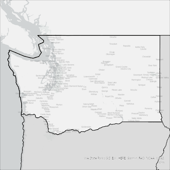
Washington State Broadband Serviceable Location Data
CostQuest’s BroadbandFabric data developed by broadband experts and blended with machine learning, is the perfect solution for the challenges broadband decision-makers face. CostQuest provides an accurate view of Broadband Serviceable locations (coordinates of structures eligible to receive service) that can universally tie to other key data attributes such as Service Availability, Engineering and Construction, Costs and Economics, and Demand and Demographics. Let CostQuest power your data-driven decision making with one-of-a-kind data built for the Broadband evolution.
Contact UsCounties included
- Adams County WA GIS Data
- Asotin County WA GIS Data
- Benton County WA GIS Data
- Chelan County WA GIS Data
- Clallam County WA GIS Data
- Clark County WA GIS Data
- Columbia County WA GIS Data
- Cowlitz County WA GIS Data
- Douglas County WA GIS Data
- Ferry County WA GIS Data
- Franklin County WA GIS Data
- Garfield County WA GIS Data
- Grant County WA GIS Data
- Grays Harbor County WA GIS Data
- Island County WA GIS Data
- Jefferson County WA GIS Data
- King County WA GIS Data
- Kitsap County WA GIS Data
- Kittitas County WA GIS Data
- Klickitat County WA GIS Data
- Lewis County WA GIS Data
- Lincoln County WA GIS Data
- Mason County WA GIS Data
- Okanogan County WA GIS Data
- Pacific County WA GIS Data
- Pend Oreille County WA GIS Data
- Pierce County WA GIS Data
- San Juan County WA GIS Data
- Skagit County WA GIS Data
- Skamania County WA GIS Data
- Snohomish County WA GIS Data
- Spokane County WA GIS Data
- Stevens County WA GIS Data
- Thurston County WA GIS Data
- Wahkiakum County WA GIS Data
- Walla Walla County WA GIS Data
- Whatcom County WA GIS Data
- Whitman County WA GIS Data
- Yakima County WA GIS Data