
Westmoreland County, VA GIS Data
Virginia
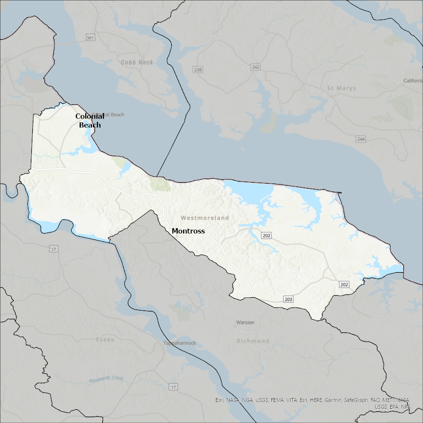
Westmoreland county
CostQuest’s BroadbandFabric data developed by broadband experts and blended with machine learning, is the perfect solution for the challenges broadband decision-makers face. CostQuest provides an accurate view of Broadband Serviceable locations (coordinates of structures eligible to receive service) that can universally tie to other key data attributes such as Service Availability, Engineering and Construction, Costs and Economics, and Demand and Demographics. Let CostQuest power your data-driven decision making with one-of-a-kind data built for the Broadband evolution.
Contact UsCities included
- Arona
- Everson
- Brackenridge
- Trafford
- White Oak
- Tarentum
- Plum
- Monroeville
- Belle Vernon
- Sutersville
- Youngstown
- Youngwood
- West Newton
- West Leechburg
- Vandergrift
- Southwest Greensburg
- Smithton
- South Greensburg
- New Kensington
- Seward
- Scottdale
- Penn
- Oklahoma
- North Irwin
- North Belle Vernon
- New Stanton
- New Florence
- New Alexandria
- Murrysville
- Mount Pleasant
- Monessen
- Manor
- Madison
- Lower Burrell
- Ligonier
- Laurel Mountain
- Latrobe
- Jeannette
- Irwin
- Hyde Park
- Hunker
- Greensburg
- Export
- East Vandergrift
- Donegal
- Avonmore
- Derry
- Delmont
- Bolivar
- Arnold
- Adamsburg
- Speers
- North Charleroi
- Donora
- Charleroi
- Saltsburg
- North Apollo
- Leechburg
- Freeport
- Apollo
- Montross
- Colonial Beach