
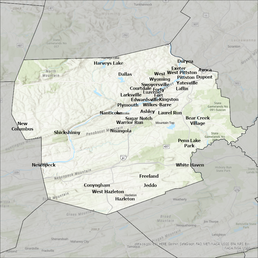
Luzerne County, PA GIS Data
Pennsylvania
Luzerne county
CostQuest’s BroadbandFabric data developed by broadband experts and blended with machine learning, is the perfect solution for the challenges broadband decision-makers face. CostQuest provides an accurate view of Broadband Serviceable locations (coordinates of structures eligible to receive service) that can universally tie to other key data attributes such as Service Availability, Engineering and Construction, Costs and Economics, and Demand and Demographics. Let CostQuest power your data-driven decision making with one-of-a-kind data built for the Broadband evolution.
Contact UsCities included
- Berwick
- East Side
- Old Forge
- Moosic
- Yatesville
- Wyoming
- Wilkes-Barre
- White Haven
- West Wyoming
- West Pittston
- West Hazleton
- Warrior Run
- Swoyersville
- Sugar Notch
- New Columbus
- Plymouth
- Laflin
- Shickshinny
- Pringle
- Pittston
- Penn Lake Park
- Nuangola
- Nescopeck
- Nanticoke
- Luzerne
- Laurel Run
- Larksville
- Kingston
- Jeddo
- Hughestown
- Freeland
- Hazleton
- Harveys Lake
- Forty Fort
- Exeter
- Edwardsville
- Duryea
- Dupont
- Dallas
- Courtdale
- Conyngham
- Bear Creek Village
- Avoca
- Ashley