
Allegheny County, PA GIS Data
Pennsylvania
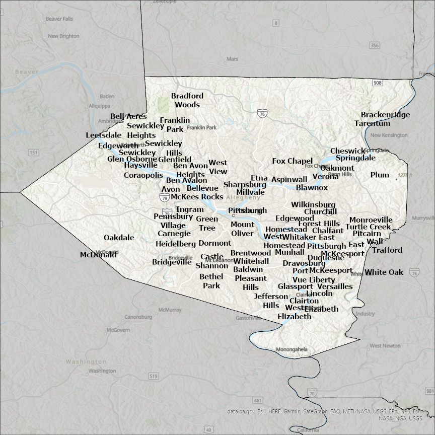
Allegheny county
CostQuest’s BroadbandFabric data developed by broadband experts and blended with machine learning, is the perfect solution for the challenges broadband decision-makers face. CostQuest provides an accurate view of Broadband Serviceable locations (coordinates of structures eligible to receive service) that can universally tie to other key data attributes such as Service Availability, Engineering and Construction, Costs and Economics, and Demand and Demographics. Let CostQuest power your data-driven decision making with one-of-a-kind data built for the Broadband evolution.
Contact UsCities included
- Wilmerding
- Ben Avon
- Whitaker
- Oakdale
- Brackenridge
- Blawnox
- Bethel Park
- Ben Avon Heights
- Bellevue
- Bell Acres
- Baldwin
- Avalon
- Aspinwall
- Trafford
- White Oak
- Tarentum
- Wilkinsburg
- Whitehall
- West View
- West Mifflin
- West Homestead
- West Elizabeth
- Wall
- Versailles
- Verona
- Turtle Creek
- Thornburg
- Springdale
- Elizabeth
- Swissvale
- Rankin
- Sharpsburg
- Port Vue
- Plum
- Sewickley Hills
- Sewickley Heights
- Sewickley
- Rosslyn Farms
- Pleasant Hills
- Pittsburgh
- Oakmont
- Pitcairn
- Pennsbury Village
- Glen Osborne
- North Braddock
- Munhall
- Mount Oliver
- Monroeville
- Millvale
- McKees Rocks
- McKeesport
- Glassport
- McDonald
- Liberty
- Lincoln
- Leetsdale
- Jefferson Hills
- Ingram
- Homestead
- Heidelberg
- Haysville
- Green Tree
- Glenfield
- Franklin Park
- Fox Chapel
- Edgeworth
- Forest Hills
- Chalfant
- Etna
- Emsworth
- Edgewood
- East Pittsburgh
- East McKeesport
- Duquesne
- Dravosburg
- Dormont
- Crafton
- Coraopolis
- Clairton
- Churchill
- Cheswick
- Castle Shannon
- Carnegie
- Bridgeville
- Brentwood
- Bradford Woods
- Braddock Hills
- Braddock
- Sutersville
- New Kensington
- Murrysville
- Lower Burrell
- Arnold
- Economy
- Ambridge
- New Eagle
- Monongahela
- South Heights
- Freeport
- Valencia
- Seven Fields