
Oregon State Broadband Serviceable Location Data
CostQuest’s BroadbandFabric data developed by broadband experts and blended with machine learning, is the perfect solution for the challenges broadband decision-makers face. CostQuest provides an accurate view of Broadband Serviceable locations (coordinates of structures eligible to receive service) that can universally tie to other key data attributes such as Service Availability, Engineering and Construction, Costs and Economics, and Demand and Demographics. Let CostQuest power your data-driven decision making with one-of-a-kind data built for the Broadband evolution.
Contact UsCounties included
- Baker County OR GIS Data
- Benton County OR GIS Data
- Clackamas County OR GIS Data
- Clatsop County OR GIS Data
- Columbia County OR GIS Data
- Coos County OR GIS Data
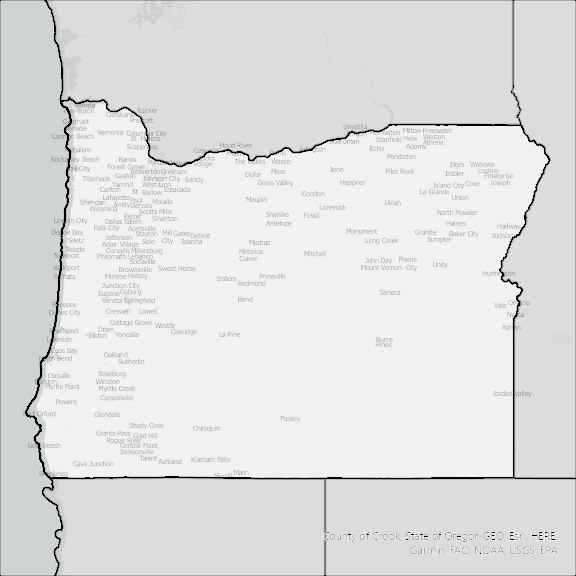
- Crook County OR GIS Data
- Curry County OR GIS Data
- Deschutes County OR GIS Data
- Douglas County OR GIS Data
- Gilliam County OR GIS Data
- Grant County OR GIS Data
- Harney County OR GIS Data
- Hood River County OR GIS Data
- Jackson County OR GIS Data
- Jefferson County OR GIS Data
- Josephine County OR GIS Data
- Klamath County OR GIS Data
- Lake County OR GIS Data
- Lane County OR GIS Data
- Lincoln County OR GIS Data
- Linn County OR GIS Data
- Malheur County OR GIS Data
- Marion County OR GIS Data
- Morrow County OR GIS Data
- Multnomah County OR GIS Data
- Polk County OR GIS Data
- Sherman County OR GIS Data
- Tillamook County OR GIS Data
- Umatilla County OR GIS Data
- Union County OR GIS Data
- Wallowa County OR GIS Data
- Wasco County OR GIS Data
- Washington County OR GIS Data
- Wheeler County OR GIS Data
- Yamhill County OR GIS Data