
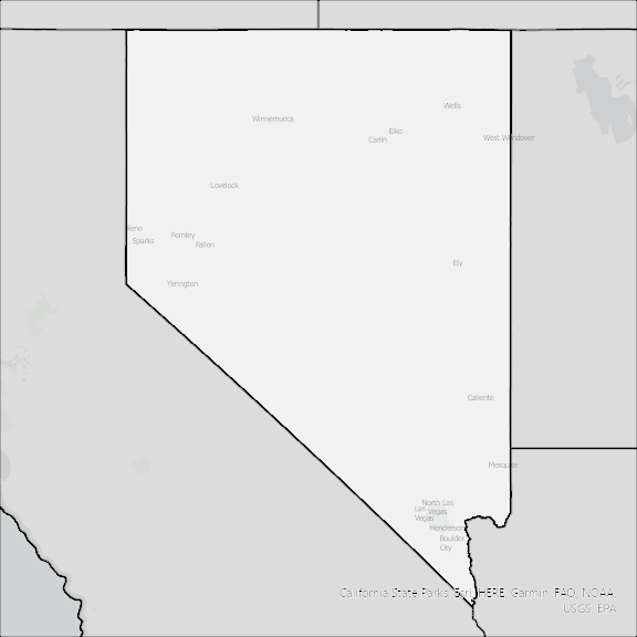
Nevada State Broadband Serviceable Location Data
CostQuest’s BroadbandFabric data developed by broadband experts and blended with machine learning, is the perfect solution for the challenges broadband decision-makers face. CostQuest provides an accurate view of Broadband Serviceable locations (coordinates of structures eligible to receive service) that can universally tie to other key data attributes such as Service Availability, Engineering and Construction, Costs and Economics, and Demand and Demographics. Let CostQuest power your data-driven decision making with one-of-a-kind data built for the Broadband evolution.
Contact UsCounties included
- Carson City County NV GIS Data
- Churchill County NV GIS Data
- Clark County NV GIS Data
- Douglas County NV GIS Data
- Elko County NV GIS Data
- Esmeralda County NV GIS Data
- Eureka County NV GIS Data
- Humboldt County NV GIS Data
- Lander County NV GIS Data
- Lincoln County NV GIS Data
- Lyon County NV GIS Data
- Mineral County NV GIS Data
- Nye County NV GIS Data
- Pershing County NV GIS Data
- Storey County NV GIS Data
- Washoe County NV GIS Data
- White Pine County NV GIS Data