
Bergen County, NJ GIS Data
New Jersey
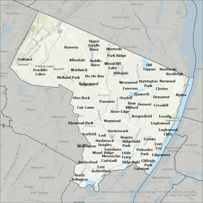
Bergen county
CostQuest’s BroadbandFabric data developed by broadband experts and blended with machine learning, is the perfect solution for the challenges broadband decision-makers face. CostQuest provides an accurate view of Broadband Serviceable locations (coordinates of structures eligible to receive service) that can universally tie to other key data attributes such as Service Availability, Engineering and Construction, Costs and Economics, and Demand and Demographics. Let CostQuest power your data-driven decision making with one-of-a-kind data built for the Broadband evolution.
Contact UsCities included
- Rockleigh
- Northvale
- Kearny
- Secaucus
- Fort Lee
- Maywood
- Midland Park
- Pompton Lakes
- Ringwood
- Wanaque
- Hawthorne
- North Haledon
- Passaic
- Bergenfield
- Bogota
- Paterson
- Demarest
- Allendale
- Alpine
- Carlstadt
- Cliffside Park
- Dumont
- Closter
- Cresskill
- East Rutherford
- Edgewater
- Franklin Lakes
- Garfield
- Glen Rock
- Montvale
- Hackensack
- Little Ferry
- Lodi
- Elmwood Park
- Emerson
- Englewood
- Englewood Cliffs
- Fairview
- Fair Lawn
- Harrington Park
- Hasbrouck Heights
- Haworth
- Hillsdale
- Ho-Ho-Kus
- Leonia
- Moonachie
- North Arlington
- New Milford
- Norwood
- Oakland
- Old Tappan
- Rutherford
- Oradell
- Palisades Park
- Paramus
- Teterboro
- Park Ridge
- Ridgefield
- Ramsey
- Ridgefield Park
- Ridgewood
- River Edge
- Saddle River
- Tenafly
- Upper Saddle River
- Waldwick
- Wallington
- Westwood
- Woodcliff Lake
- Wood-Ridge
- Clifton
- New York
- Yonkers
- Hastings-on-Hudson
- Hillburn
- Suffern
- Chestnut Ridge
- Airmont