
St. Clair County, MI GIS Data
Michigan
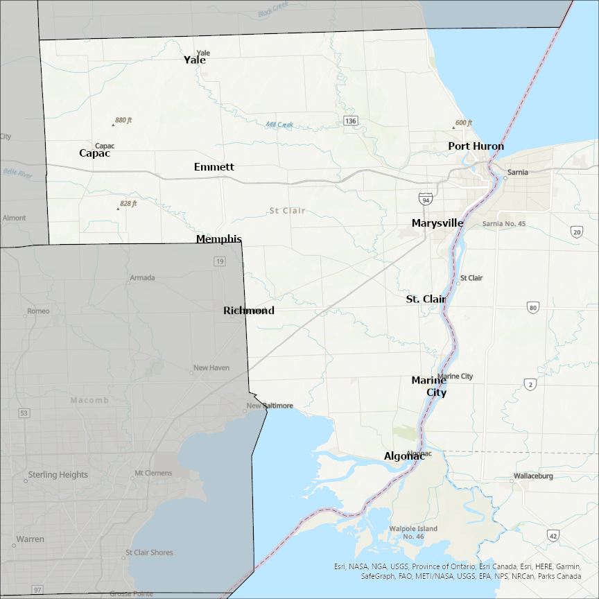
St. Clair county
CostQuest’s BroadbandFabric data developed by broadband experts and blended with machine learning, is the perfect solution for the challenges broadband decision-makers face. CostQuest provides an accurate view of Broadband Serviceable locations (coordinates of structures eligible to receive service) that can universally tie to other key data attributes such as Service Availability, Engineering and Construction, Costs and Economics, and Demand and Demographics. Let CostQuest power your data-driven decision making with one-of-a-kind data built for the Broadband evolution.
Contact UsCities included
- Clay
- Rainbow City
- Vincent
- Steele
- Springville
- Riverside
- Ragland
- Pell City
- Odenville
- Moody
- Margaret
- Ashville
- Trussville
- Leeds
- Argo
- Hecker
- Columbia
- Venice
- Madison
- Fairmont City
- Collinsville
- Washington Park
- Swansea
- Summerfield
- Sauget
- St. Libory
- O'Fallon
- Smithton
- Shiloh
- New Athens
- Marissa
- Lenzburg
- Millstadt
- Mascoutah
- Cahokia
- Brooklyn
- Belleville
- Alorton
- Dupo
- Lebanon
- Freeburg
- Fayetteville
- Fairview Heights
- East St. Louis
- East Carondelet
- Centreville
- Caseyville
- New Baden
- New Baltimore
- Yale
- Marysville
- Marine City
- Emmett
- Capac
- Algonac
- Richmond
- Memphis
- St. Clair
- Port Huron
- Appleton City
- St. Louis
- Vista
- Roscoe
- Osceola
- Lowry City
- Gerster
- Collins