
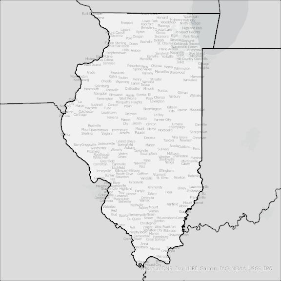
Illinois State Broadband Serviceable Location Data
CostQuest’s BroadbandFabric data developed by broadband experts and blended with machine learning, is the perfect solution for the challenges broadband decision-makers face. CostQuest provides an accurate view of Broadband Serviceable locations (coordinates of structures eligible to receive service) that can universally tie to other key data attributes such as Service Availability, Engineering and Construction, Costs and Economics, and Demand and Demographics. Let CostQuest power your data-driven decision making with one-of-a-kind data built for the Broadband evolution.
Contact UsCounties included
- Adams County IL GIS Data
- Alexander County IL GIS Data
- Bond County IL GIS Data
- Boone County IL GIS Data
- Brown County IL GIS Data
- Bureau County IL GIS Data
- Calhoun County IL GIS Data
- Carroll County IL GIS Data
- Cass County IL GIS Data
- Champaign County IL GIS Data
- Christian County IL GIS Data
- Clark County IL GIS Data
- Clay County IL GIS Data
- Clinton County IL GIS Data
- Coles County IL GIS Data
- Cook County IL GIS Data
- Crawford County IL GIS Data
- Cumberland County IL GIS Data
- De Witt County IL GIS Data
- DeKalb County IL GIS Data
- Douglas County IL GIS Data
- DuPage County IL GIS Data
- Edgar County IL GIS Data
- Edwards County IL GIS Data
- Effingham County IL GIS Data
- Fayette County IL GIS Data
- Ford County IL GIS Data
- Franklin County IL GIS Data
- Fulton County IL GIS Data
- Gallatin County IL GIS Data
- Greene County IL GIS Data
- Grundy County IL GIS Data
- Hamilton County IL GIS Data
- Hancock County IL GIS Data
- Hardin County IL GIS Data
- Henderson County IL GIS Data
- Henry County IL GIS Data
- Iroquois County IL GIS Data
- Jackson County IL GIS Data
- Jasper County IL GIS Data
- Jefferson County IL GIS Data
- Jersey County IL GIS Data
- Jo Daviess County IL GIS Data
- Johnson County IL GIS Data
- Kane County IL GIS Data
- Kankakee County IL GIS Data
- Kendall County IL GIS Data
- Knox County IL GIS Data
- Lake County IL GIS Data
- LaSalle County IL GIS Data
- Lawrence County IL GIS Data
- Lee County IL GIS Data
- Livingston County IL GIS Data
- Logan County IL GIS Data
- Macon County IL GIS Data
- Macoupin County IL GIS Data
- Madison County IL GIS Data
- Marion County IL GIS Data
- Marshall County IL GIS Data
- Mason County IL GIS Data
- Massac County IL GIS Data
- McDonough County IL GIS Data
- McHenry County IL GIS Data
- McLean County IL GIS Data
- Menard County IL GIS Data
- Mercer County IL GIS Data
- Monroe County IL GIS Data
- Montgomery County IL GIS Data
- Morgan County IL GIS Data
- Moultrie County IL GIS Data
- Ogle County IL GIS Data
- Peoria County IL GIS Data
- Perry County IL GIS Data
- Piatt County IL GIS Data
- Pike County IL GIS Data
- Pope County IL GIS Data
- Pulaski County IL GIS Data
- Putnam County IL GIS Data
- Randolph County IL GIS Data
- Richland County IL GIS Data
- Rock Island County IL GIS Data
- Saline County IL GIS Data
- Sangamon County IL GIS Data
- Schuyler County IL GIS Data
- Scott County IL GIS Data
- Shelby County IL GIS Data
- St. Clair County IL GIS Data
- Stark County IL GIS Data
- Stephenson County IL GIS Data
- Tazewell County IL GIS Data
- Union County IL GIS Data
- Vermilion County IL GIS Data
- Wabash County IL GIS Data
- Warren County IL GIS Data
- Washington County IL GIS Data
- Wayne County IL GIS Data
- White County IL GIS Data
- Whiteside County IL GIS Data
- Will County IL GIS Data
- Williamson County IL GIS Data
- Winnebago County IL GIS Data
- Woodford County IL GIS Data