
Idaho State Broadband Serviceable Location Data
CostQuest’s BroadbandFabric data developed by broadband experts and blended with machine learning, is the perfect solution for the challenges broadband decision-makers face. CostQuest provides an accurate view of Broadband Serviceable locations (coordinates of structures eligible to receive service) that can universally tie to other key data attributes such as Service Availability, Engineering and Construction, Costs and Economics, and Demand and Demographics. Let CostQuest power your data-driven decision making with one-of-a-kind data built for the Broadband evolution.
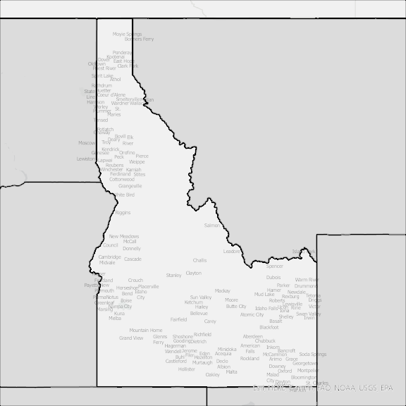
Contact UsCounties included
- Ada County ID GIS Data
- Adams County ID GIS Data
- Bannock County ID GIS Data
- Bear Lake County ID GIS Data
- Benewah County ID GIS Data
- Bingham County ID GIS Data
- Blaine County ID GIS Data
- Boise County ID GIS Data
- Bonner County ID GIS Data
- Bonneville County ID GIS Data
- Boundary County ID GIS Data
- Butte County ID GIS Data
- Camas County ID GIS Data
- Canyon County ID GIS Data
- Caribou County ID GIS Data
- Cassia County ID GIS Data
- Clark County ID GIS Data
- Clearwater County ID GIS Data
- Custer County ID GIS Data
- Elmore County ID GIS Data
- Franklin County ID GIS Data
- Fremont County ID GIS Data
- Gem County ID GIS Data
- Gooding County ID GIS Data
- Idaho County ID GIS Data
- Jefferson County ID GIS Data
- Jerome County ID GIS Data
- Kootenai County ID GIS Data
- Latah County ID GIS Data
- Lemhi County ID GIS Data
- Lewis County ID GIS Data
- Lincoln County ID GIS Data
- Madison County ID GIS Data
- Minidoka County ID GIS Data
- Nez Perce County ID GIS Data
- Oneida County ID GIS Data
- Owyhee County ID GIS Data
- Payette County ID GIS Data
- Power County ID GIS Data
- Shoshone County ID GIS Data
- Teton County ID GIS Data
- Twin Falls County ID GIS Data
- Valley County ID GIS Data
- Washington County ID GIS Data