
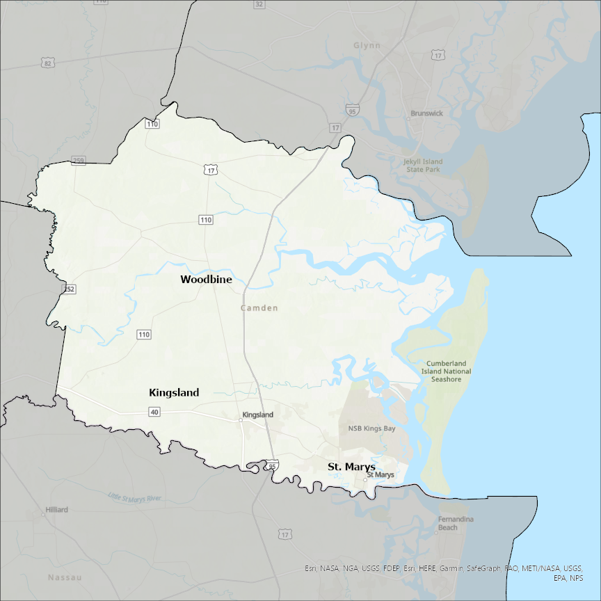
Camden County, GA GIS Data
Georgia
Camden county
CostQuest’s BroadbandFabric data developed by broadband experts and blended with machine learning, is the perfect solution for the challenges broadband decision-makers face. CostQuest provides an accurate view of Broadband Serviceable locations (coordinates of structures eligible to receive service) that can universally tie to other key data attributes such as Service Availability, Engineering and Construction, Costs and Economics, and Demand and Demographics. Let CostQuest power your data-driven decision making with one-of-a-kind data built for the Broadband evolution.
Contact UsCities included
- Woodbine
- St. Marys
- Kingsland
- Climax Springs
- Stoutland
- Richland
- Lake Ozark
- Sunrise Beach
- Village of Four Seasons
- Macks Creek
- Linn Creek
- Camdenton
- Osage Beach
- Laurie
- Hi-Nella
- Laurel Springs
- Merchantville
- Folsom
- Hammonton
- Westville
- Palmyra
- Lawnside
- Magnolia
- Berlin
- Audubon
- Audubon Park
- Barrington
- Bellmawr
- Brooklawn
- Chesilhurst
- Clementon
- Camden
- Collingswood
- Gibbsboro
- Gloucester City
- Haddon Heights
- Haddonfield
- Lindenwold
- Mount Ephraim
- Oaklyn
- Pine Hill
- Pine Valley
- Runnemede
- Somerdale
- Stratford
- Tavistock
- Woodlynne
- Elizabeth City
- Philadelphia
- Chesapeake
- Suffolk