
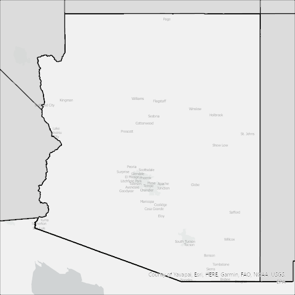
Arizona State Broadband Serviceable Location Data
CostQuest’s BroadbandFabric data developed by broadband experts and blended with machine learning, is the perfect solution for the challenges broadband decision-makers face. CostQuest provides an accurate view of Broadband Serviceable locations (coordinates of structures eligible to receive service) that can universally tie to other key data attributes such as Service Availability, Engineering and Construction, Costs and Economics, and Demand and Demographics. Let CostQuest power your data-driven decision making with one-of-a-kind data built for the Broadband evolution.
Contact UsCounties included
- Apache County AZ GIS Data
- Cochise County AZ GIS Data
- Coconino County AZ GIS Data
- Gila County AZ GIS Data
- Graham County AZ GIS Data
- Greenlee County AZ GIS Data
- La Paz County AZ GIS Data
- Maricopa County AZ GIS Data
- Mohave County AZ GIS Data
- Navajo County AZ GIS Data
- Pima County AZ GIS Data
- Pinal County AZ GIS Data
- Santa Cruz County AZ GIS Data
- Yavapai County AZ GIS Data
- Yuma County AZ GIS Data