
Dallas County, AL GIS Data
Alabama
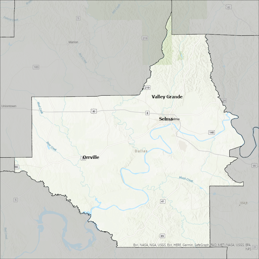
Dallas county
CostQuest’s BroadbandFabric data developed by broadband experts and blended with machine learning, is the perfect solution for the challenges broadband decision-makers face. CostQuest provides an accurate view of Broadband Serviceable locations (coordinates of structures eligible to receive service) that can universally tie to other key data attributes such as Service Availability, Engineering and Construction, Costs and Economics, and Demand and Demographics. Let CostQuest power your data-driven decision making with one-of-a-kind data built for the Broadband evolution.
Contact UsCities included
- Valley Grande
- Selma
- Orrville
- Redfield
- Sparkman
- Fordyce
- Carthage
- Earlham
- West Des Moines
- De Soto
- Dawson
- Dallas Center
- Bouton
- Adel
- Woodward
- Van Meter
- Waukee
- Perry
- Minburn
- Linden
- Dexter
- Urbandale
- Grimes
- Granger
- Clive
- Conway
- Urbana
- Louisburg
- Buffalo
- Wilmer
- University Park
- Sunnyvale
- Seagoville
- Mesquite
- Lancaster
- Irving
- Hutchins
- Highland Park
- Farmers Branch
- Duncanville
- DeSoto
- Combine
- Cockrell Hill
- Balch Springs
- Addison
- Rowlett
- Ovilla
- Lewisville
- Grapevine
- Grand Prairie
- Glenn Heights
- Ferris
- Coppell
- Cedar Hill
- Wylie
- Sachse
- Richardson
- Garland
- Dallas
- Carrollton
- Red Oak
- Euless
- Fort Worth
- Flower Mound