
Rockland County, NY GIS Data
New York
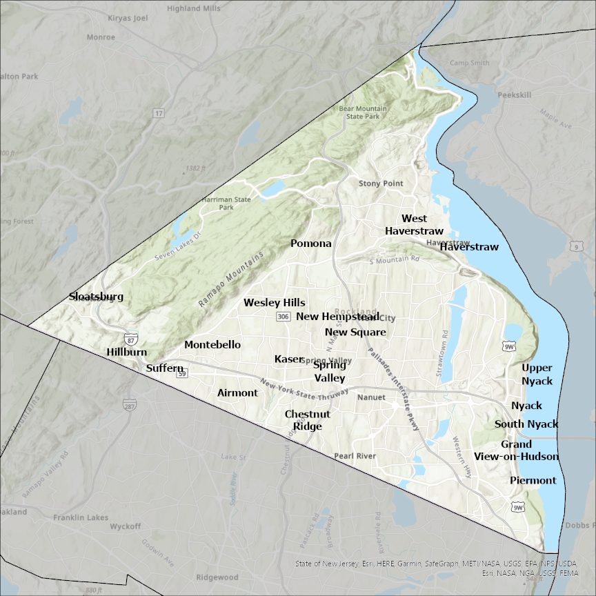
Rockland county
CostQuest’s BroadbandFabric data developed by broadband experts and blended with machine learning, is the perfect solution for the challenges broadband decision-makers face. CostQuest provides an accurate view of Broadband Serviceable locations (coordinates of structures eligible to receive service) that can universally tie to other key data attributes such as Service Availability, Engineering and Construction, Costs and Economics, and Demand and Demographics. Let CostQuest power your data-driven decision making with one-of-a-kind data built for the Broadband evolution.
Contact UsCities included
- Rockleigh
- Northvale
- Ringwood
- Alpine
- Montvale
- Old Tappan
- Upper Saddle River
- Piermont
- Tarrytown
- Sleepy Hollow
- Peekskill
- Ossining
- Irvington
- Hastings-on-Hudson
- Dobbs Ferry
- Croton-on-Hudson
- Buchanan
- Briarcliff Manor
- Hillburn
- West Haverstraw
- Suffern
- Wesley Hills
- Upper Nyack
- South Nyack
- Spring Valley
- Sloatsburg
- Pomona
- Nyack
- New Square
- Haverstraw
- New Hempstead
- Montebello
- Kaser
- Grand View-on-Hudson
- Chestnut Ridge
- Airmont
- Woodbury