
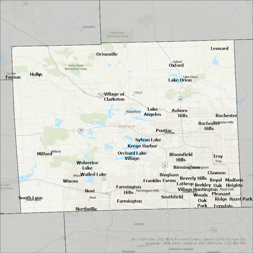
Oakland County, MI GIS Data
Michigan
Oakland county
CostQuest’s BroadbandFabric data developed by broadband experts and blended with machine learning, is the perfect solution for the challenges broadband decision-makers face. CostQuest provides an accurate view of Broadband Serviceable locations (coordinates of structures eligible to receive service) that can universally tie to other key data attributes such as Service Availability, Engineering and Construction, Costs and Economics, and Demand and Demographics. Let CostQuest power your data-driven decision making with one-of-a-kind data built for the Broadband evolution.
Contact UsCities included
- Ortonville
- Orchard Lake Village
- Bingham Farms
- Livonia
- Detroit
- Northville
- Warren
- Sterling Heights
- Fenton
- Wolverine Lake
- Wixom
- Walled Lake
- Village of Clarkston
- Troy
- Pleasant Ridge
- Sylvan Lake
- South Lyon
- Southfield
- Royal Oak
- Rochester Hills
- Rochester
- Oxford
- Pontiac
- Oak Park
- Novi
- Milford
- Madison Heights
- Leonard
- Lathrup Village
- Lake Orion
- Lake Angelus
- Keego Harbor
- Huntington Woods
- Holly
- Hazel Park
- Franklin
- Ferndale
- Farmington Hills
- Farmington
- Clawson
- Bloomfield Hills
- Birmingham
- Beverly Hills
- Berkley
- Auburn Hills